MENU

Showing posts with label overlook. Show all posts

Wednesday, April 13, 2011

Cinder Cone Trail (1.5 miles)


Cinder Cone Trail

Length: 1.5 miles roundtrip

Assent: +500'

Trail: Bare lava rock

Trailhead: The trailhead is on the right (east) side of the road as visitors drive up the canyon, one mile north of the Snow Canyon Drive junction with State Route 18.

Hiking Time: 1 hour

Difficulty: Strenuous

Area: Washington County, near Snow Canyon

Trailhead: The trailhead is on the right (east) side of the road as visitors drive up the canyon, one mile north of the Snow Canyon Drive junction with State Route 18.


Map of the Cinder Cone Trailhead

View Cinder Cone Trailhead in a larger map

Sunday, April 10, 2011

Observation Point - Zion (8 miles)


Observation Point - Zion

Length: 8 miles roundtrip

Hiking Time: 5 hours

Assent: +2148' (long steep climb)

Trail: Most of the trail is hard surface, but the a steep downhill return can be hard on knees and toes. Stay away from the edge of trail and cliff edges (high drop-offs).

Equipment: Sturdy, well-fitting hiking shoes, food, lots of water and warm clothes (it's gonna be cold).

Difficulty: Strenuous, Steep Cliff-Side

Sun Exposure: Full Sun

Area: Zion

Trailhead: Weeping Rock parking lot

Monday, April 4, 2011

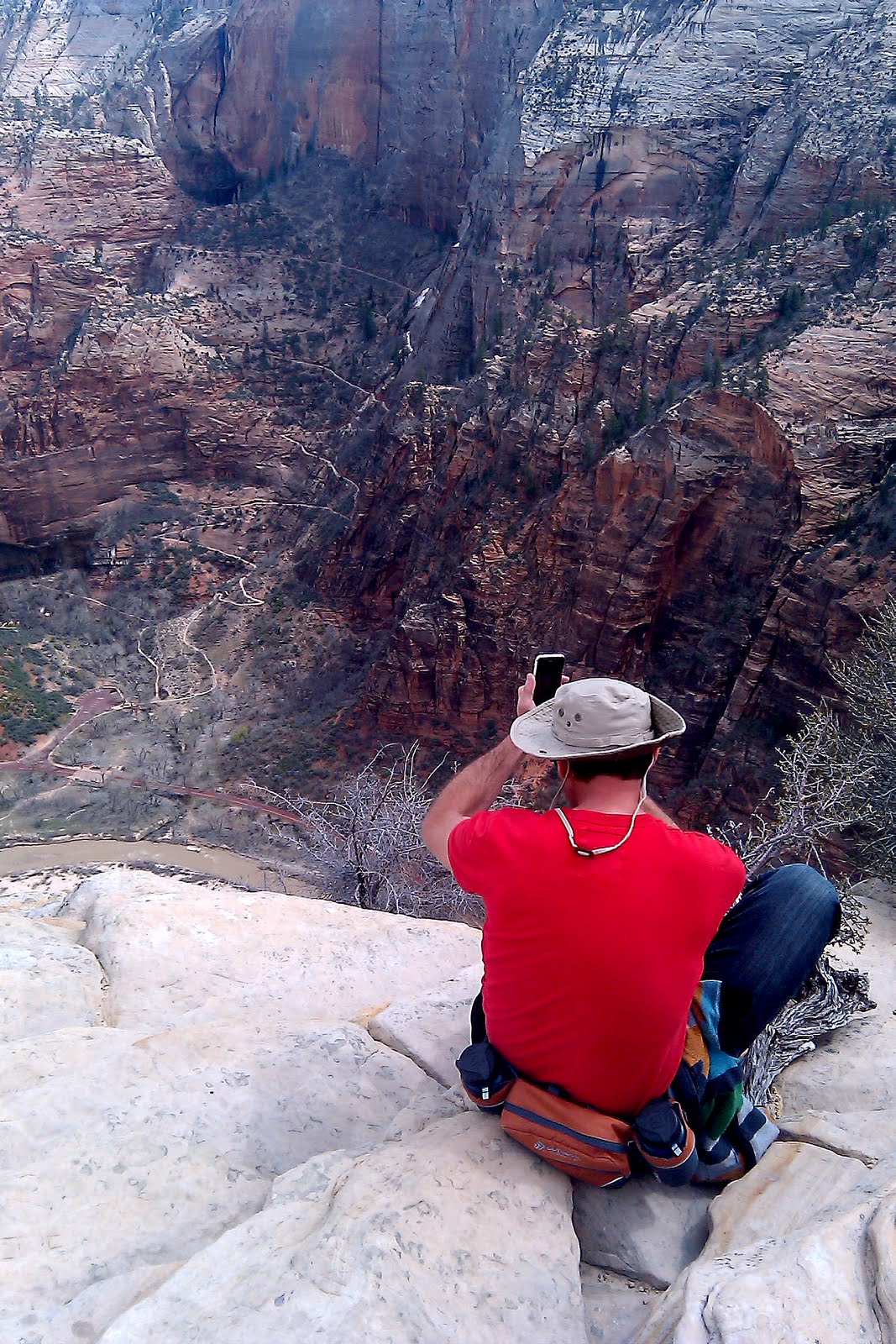
Angels Landing - Zion (5 miles)


Angels Landing
Length: 5 miles roundtrip
Trail: Steep Cliff-side Climb, +1488'
Hiking Time: Took 4 hours, Average 5 hours
Difficultly: Strenuous
Area: Zion National Park

Zion National Park Map