MENU

Showing posts with label Utah. Show all posts

Friday, April 22, 2011

Beck Hill Trail - Paradise Canyon


Beck Hill Trail

Length: 1.43 miles one way

Hiking Time: 30-45 mins

Assent: +380'

Trail: Sand, dirt and slick-rock

Equipment: Sturdy, well-fitting hiking shoes, water and sunblock

Difficulty: Easy to Moderate

Sun Exposure: Full Sun

Area: Paradise Canyon

Trailhead: The Chuckwalla Trail is located just west of Highway 18 and north of Snow Canyon parkway. As you travel north on Highway 18 past the Snow Canyon intersection, the Chuckwalla Trail is on the left about a mile up the road. The parking area is gravel, but can be navigated by most vehicles, although it may become muddy after rains. In the parking area, you'll find primative bathrooms and ample parking.

Sunday, April 10, 2011

Observation Point - Zion (8 miles)


Observation Point - Zion

Length: 8 miles roundtrip

Hiking Time: 5 hours

Assent: +2148' (long steep climb)

Trail: Most of the trail is hard surface, but the a steep downhill return can be hard on knees and toes. Stay away from the edge of trail and cliff edges (high drop-offs).

Equipment: Sturdy, well-fitting hiking shoes, food, lots of water and warm clothes (it's gonna be cold).

Difficulty: Strenuous, Steep Cliff-Side

Sun Exposure: Full Sun

Area: Zion

Trailhead: Weeping Rock parking lot

Monday, April 4, 2011

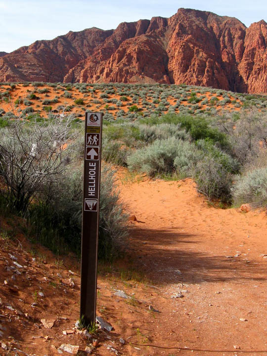
Hellhole Trail - Kayenta (4.5 miles)


Hellhole Trail

Length: 4.5 miles roundtrip

Trail: Soft sand and rocks along an unnamed wash

Hiking Time: Average 3-4 hours (although it took me just around 2 hours)

Difficultly: Moderate

Area: Red Cliffs National Conservation Area
Sub Area: Red Mountain, Kayenta (Ivins)

Directions:
The trek begins at an unmarked trailhead that can be found on 400 West about 1 mile past the Kayenta welcome sign just outside of Ivins, which is located on the north side of Saint George, Utah. At the 1-mile mark you will come upon the first major wash along the black-topped route. Park on the south side of the road near another Kayenta sign where there is room for perhaps 2 or 3 vehicles.

View Red Mountain Trail Map