MENU

Sunday, May 22, 2011

Kanarra Creek Slot Canyon


Kanarra Creek Trail

Length: 3.5 miles to 1st waterfall, 3.7 miles to 2nd waterfall, 4.4 miles to turnaround.

Hiking Time: 4 hours Assent: +700' Trail: River hiking (Criss cross Kanarra Creek several times)

Equipment: Sturdy, sticky river hiking shoes and quick dry clothing. Dry bag for food, water, first aid kit and rope might be needed.

Difficulty: Moderate to Strenuous

Area: Just outside Kolob Canyon

Trailhead: Kanarraville (see below)

Monday, May 2, 2011

Hidden Canyon - Zion


Hidden Canyon - Zion

Length: 2+ miles roundtrip

Hiking Time: 3-4 hours

Assent: +850'

Trail: Strenuous Steep Cliff-side

Equipment: Sturdy hiking shoes, water, snacks, walking stick (optional)

Difficulty: Strenuous, but well maintained trail

Sun Exposure: Full Sun

Area: Zion

Trailhead: Weeping Rock Parking Lot

Sunday, April 24, 2011

Dry Fork Slot Canyon - Coyote Gulch/Escalante


Dry Fork Slot Canyon

Length: 4.25 miles roundtrip

Hiking Time: 2 1/2 - 3 hours

Trail: Sand, slot canyon, some climbing and wading required

Equipment: Sturdy, well-fitting waterproof hiking shoes, water and sunblock

Difficulty: Moderate

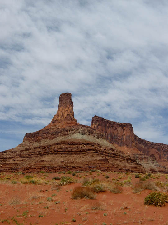
Area: Grand Staircase-Escalante National Monument

Trailhead Location: From Hwy 12, drive 26 miles south on Hole-in-the-Rock Road. Turn left at the sign that says "Dry Fork", and drive 1.7 miles, bearing to the left at the Y, and park at the road's end on the canyon rim.

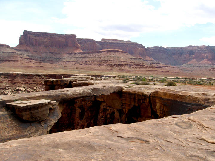
Dry Fork Trailhead: Trailhead begins at the Dry Fork parking lot's south side. Follow the cairned route that leads down into a side canyon of Dry Fork. Upon reaching the wash bottom, follow it for about 200 yards until it opens up and widens. Turn left (north) and spot the obvious entrance to the Dry Fork Slot Canyon. It is a significant canyon in the rock to the north. There should be a cairn at the entrance.

NOTE: Hole-in-the-Rock Road is rarely maintained, and may be impassible when wet.

Friday, April 22, 2011

Beck Hill Trail - Paradise Canyon


Beck Hill Trail

Length: 1.43 miles one way

Hiking Time: 30-45 mins

Assent: +380'

Trail: Sand, dirt and slick-rock

Equipment: Sturdy, well-fitting hiking shoes, water and sunblock

Difficulty: Easy to Moderate

Sun Exposure: Full Sun

Area: Paradise Canyon

Trailhead: The Chuckwalla Trail is located just west of Highway 18 and north of Snow Canyon parkway. As you travel north on Highway 18 past the Snow Canyon intersection, the Chuckwalla Trail is on the left about a mile up the road. The parking area is gravel, but can be navigated by most vehicles, although it may become muddy after rains. In the parking area, you'll find primative bathrooms and ample parking.

Chuckwalla Trail - Paradise Canyon


Chuckwalla Trail

Length: 0.91 miles one way

Hiking Time: 20-30 mins

Assent: +380'

Trail: Sand, dirt and slick-rock

Equipment: Sturdy, well-fitting hiking shoes, water and sunblock

Difficulty: Easy to Moderate

Sun Exposure: Full Sun

Area: Paradise Canyon

Trailhead: The Chuckwalla Trail is located just west of Highway 18 and north of Snow Canyon parkway. As you travel north on Highway 18 past the Snow Canyon intersection, the Chuckwalla Trail is on the left about a mile up the road. The parking area is gravel, but can be navigated by most vehicles, although it may become muddy after rains. In the parking area, you'll find primative bathrooms and ample parking.

Pioneer Names Trail - Snow Canyon (1/2 mile)


Pioneer Names

Miles: 0.5 miles roundtrip

Time: 20-30 mins

Difficulty: Easy

Location: Snow Canyon State Park

Trailhead: The Pioneer Names trailhead is located 0.15 mile north of the Sand Dunes picnic area and the inception of the West Canyon Road.

Tuesday, April 19, 2011

Snoeshoeing at Cedar Breaks


Upper Alpine Pond Trail to the Yurt

Miles: 2 miles round trip (the full Upper Alpine Pond Trail is 4.4 miles roundtrip)

Assent: +180'

Elevation: at 10,500 ft

Location: Cedar Break National Monument, UT

ALPINE POND (10,500 ft elevation, in the interior of the Park, on the Upper Alpine Pond Hiking Trail):
To get to this trail, drive about a mile south past the Rattlesnake trailhead (above) until you reach the closed gate to the Park, where there will be a small parking area carved out of the snow on (closed) road UT-148. Utah DOT says that they will plow this parking area this winter (2009-10), but the cars should leave in the case of a bad snow storm. Ski along the snowmobile trail on the closed road UT-148 for about a mile, where you should see a yurt and the ski trailhead signs for the Alpine trail on the right side of the road. This Alpine Pond trail is about a mile long, each way, and is easy/moderate except in a couple places where sharp, sloped curves may be hard to negotiate in icy conditions. Snowmobiles are prohibited off the highway 148, so you should have a nice peaceful glide through the trees on this trail. This trail is sometimes groomed when the Park has sufficient help (not often).


Map to the Upper Alpine Pine Trailhead (Utah 143 & Utah 148)

View Larger Map

Sunday, April 17, 2011

Fisher Towers Trail - Moab (4.4 miles)


Fisher Towers Trail

Length: 2.2 miles to trail end (4.4 miles roundtrip)

Hiking Time: 3-4 hours

Assent: +650'

Trail: Constructed trail

Equipment: Sturdy, well-fitting hiking shoes, water.

Difficulty: Moderate

Sun Exposure: Full Sun

Area: Moab, Utah (near Arches NP)

Trailhead: Off Utah Scenic Byway 128. At 21 miles east of the Utah 128/US 191 junction, turn right and go 2.2 miles on an improved dirt road to a parking lot.


Map to the Fisher Towers Trailhead

View Larger Map

Canyonlands